The Milford Road and Sound: History, Geology, Glaciation and Tourism (8 pages)
These seven pages document the road to Milford Sound and Milford Sound itself.
They have taken me an age to complete. As elsewhere I did not want to just present a load of old photos. And I had loads. I wanted to give some context, to try and find some narrative and to learn things about the places I'd seen.
Some of these pages are still a bit rough around the edges. The Geology and Glaciation page is bursting at the seams.
The pages go like this:
- First is the journey from from Bluff to Lake Te Anau with some thoughts on the controversial Manapouri hydroelectric scheme that feeds the aluminium smelter at Bluff.
Then there are three pages on the Milford Road which is one of the most exciting stretches of road I've ever driven.
These look at:
- the economics of tourism and the importance of Milford Sound as a major New Zealand tourist 'drawcard' and recent initiatiatives to 'reduce congestion' (and increase revenues);
- a brief note on the history of the Milford Road itself and its construction (I'm awaiting a book from NZ on this so it at the moment concentrates on the Homer Tunnel);
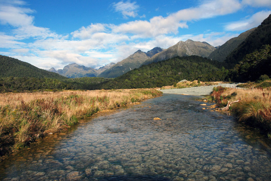
- a photographic journey down the 119km road with some notes on the Fiordland National Park's flora and fauna, prodigious rainfall and plagues of sandflies.
The Fiordland National Park is one of the biggest national parks in the world and almost totally uninhabited.

Then are three pages on Milford Sound.
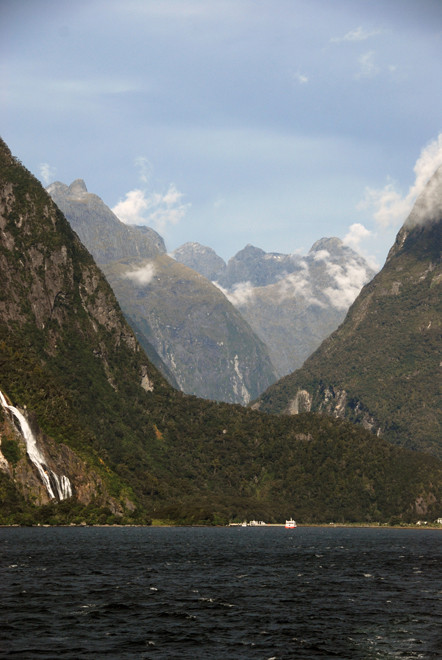
- the Sound itself and its very different look and feel from the Southern Alps and other fiord regions of the world - geology, the glaciation of the Ice Ages and lots of photos and a short section on 'deep water emergence';
- some history of the Sound - Maori, greenstone/punamu. the Hermit of Milford (he was anything but) and early tourism;
- and a section on the hanging rain forests of the Sound and those of the road into Milford - tree avalanches, podocarps and beech.
As usual it has all taken much more time and effort than I thought. Feedback and help with identification of mountains, plants etc. is always appreciated.
All sources are referenced and gratefully acknowledged. Special thanks to Jesse Dykstra and his 2012 PhD thesis from which I have borrowed some graphics and from which I have learnt a great deal.
The pages links are here or in the drop-down menu above.