I. Golden Bay/Mohau, South Island (13 pages)
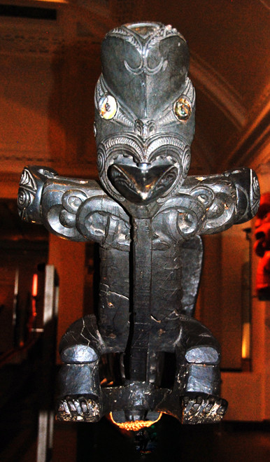
The Origins of South Island in Maori Mythology
The ancient name of the South Island was Te Waka a Aoraki, a name given by the early Polynesian inhabitants of Aotearoa/New Zeland.
In Maori mythology the South Island was created when, for complicated reasons, the god Aoraki and his brothers descended from heaven. While they explored the southern ocean a violent storm capsized their waka (sea-going canoe).
The storm turned everything to stone so creating the South Island, or Te Waka a Aoraki. The crew became the Southern Alps, with Aoraki petrified as the highest peak, Aoraki - Mount Cook, surrounded by his brothers as neighbouring peaks.
The beautiful carvings of the canoe's sternpost became Fiordland, while the ornate prow formed Farewell Spit, Golden Bay, Tasman Bay and the islands and coves of the Marlborough Sounds and Cloudy
Bay. This is Te Tau Ihu o Te Waka a Aoraki – The Prow of the Canoe of Aoraki (extracted from The Prow: Te Tau Ihu o Te Waka a
Aoraki).
For Maori Golden Bay was always important as a resource area in its own right and as a supply route to and from important resources to the south such as quartzite for knives, red and black pigments for dyeing, the valuable aromatic herb kakara taramea ( speargrass from Karamea), sandstone abrasives, a very hard flint for drilling and the prized pounamu (greenstone) of Te Tai Poutini (Westland).
It was at the hands of Tumatakokiri, the tribe which was in occupation in 1642, that four of the first Europeans to arrive in New Zealand under the command of Abel Tasman met their death (see
Golden Bay: Maori
History).

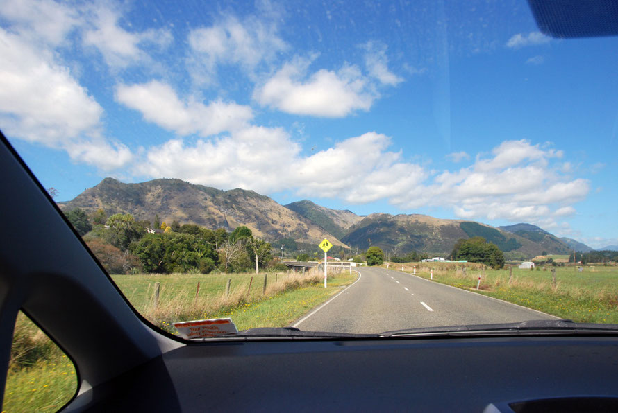
These thirteen pages recount, with the usual excursions and explorations, our brief time staying in the palatial beach front villa we rented at Pohara.
From here we explored some of the area bounded to the east of the Abel Tasman National Park and to the west by the Kahurangi National Park and the West Coast.
It was a fantastic time. This area is dominated by lowland and hill forest, lush valley bottoms, stunning limestone karst landscape and fantastic rivers, springs and beaches.
There is a West Coast feel in Golden Bay - named after the brief gold rush rather than the sandy beaches and 32km long-Farewell Spit at the north-western end of the horseshoe bay (see map below).
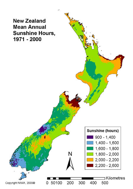
Rainfall is plentiful getting up to 5 metres annually on the high peaks and 1.5m on the low ground. To the east of Takaka Hill the rainfall reduces markedly making Nelson one of the sunniest places in New Zealand.

These pages start off with a trip out to the Mangakarau Swamp and the West Coast along a 25km gravel road. This went through Collingwood, and the now deserted Mangakarau Swamp which once had thriving bush industries. Finally we arrived at the west coast after an increasingly bumpy ride.
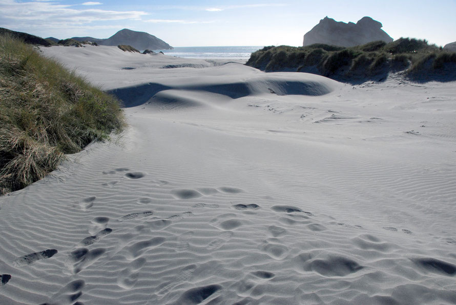
The return journey through brilliant karst country follows with side trips to the truly awesome Te Waikoropupu Springs, the largest in New Zealand, and the west coast Wharariki Beach where we watched New Zealand Fur Seal pups mucking about.
Then there are a series of walks - Taupo Point along deserted beaches; the Falls walk to a waterfall through virgin forest; and the Hydro walk through higher forest.
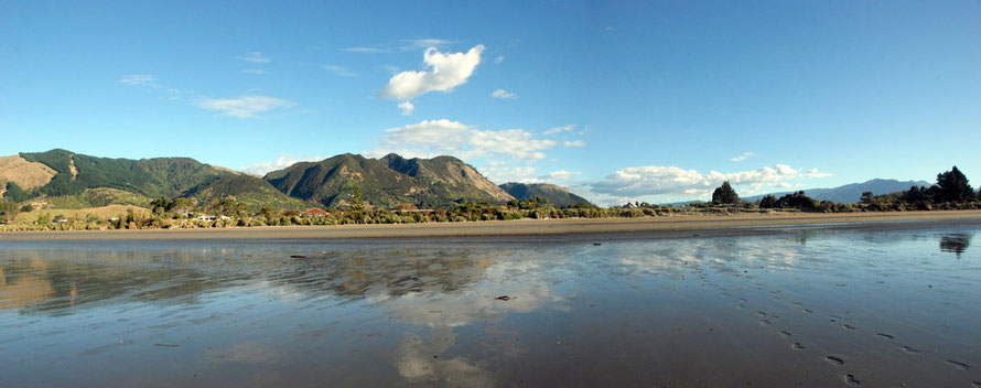
Lastly some views of Golden Bay from Pohara and a final page on people, places, the changing community and a few snaps of the palace that was ours for five days.

Once more we were remarkably lucky with the weather - beautiful, burning sunshine, cool nights and brilliant stars. I though the north end of South Island would be crowded or suburban for some reason. It wasn't and it isn't.
It doesn't have the great spectacles of fiords or glaciers (although Farewell Spit, which we didn't visit unfortunately, is pretty big as spectacles go) but it has so very much and nice cafes and shops.
As a place to both chill out and explore its a great way to start a South Island circuit in my view. And there are regular flights into Nelson. Couldn't be better. And the sandflies weren't bad.