I. Authur's Pass (4 pages)
These three pages recount the trip down the South Island from Pohara in Golden Bay to Authur's Pass and thence onward to Dunedin and the Otago Peninsula.
By this time I had done a fair bit of driving in New Zealand on my daily forays out from Auckland while The Principal dinned the subtleties of the law into the heads of her very multinational MA group for seven hours a day.
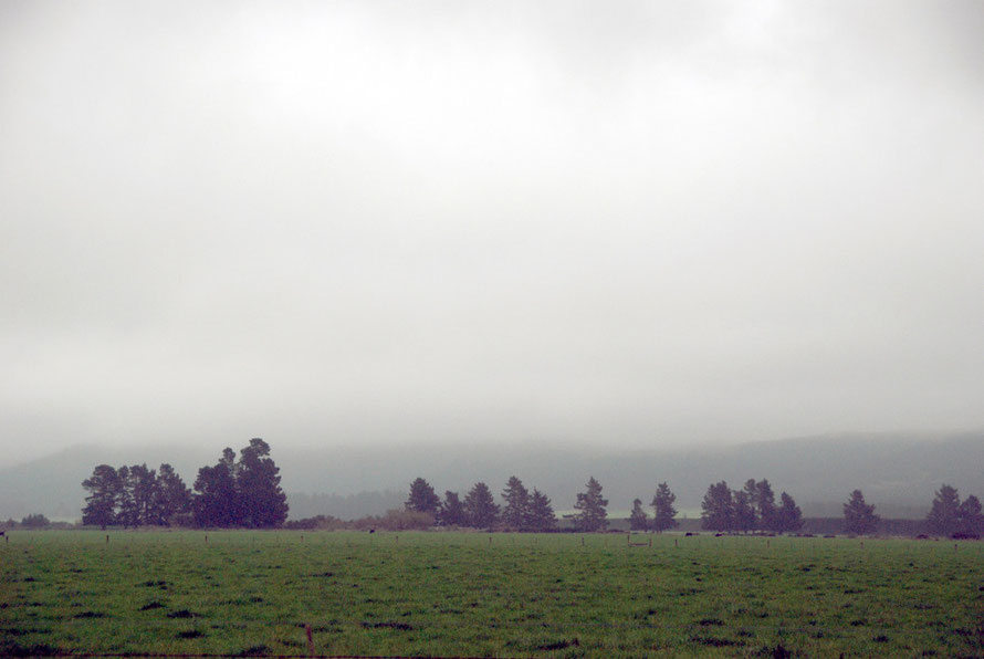
But the trip to Authur's Pass and then Dunedin were two of the biggest days of driving. The second day was pretty rained out and by the end of it I was a wreck. But it was brilliant to see so much of the country on the way down.
As usual in writing up these two days of travel I have gone down all sorts of byways and cul de sacs that we couldn't actually follow on the drive. Here are the pages.
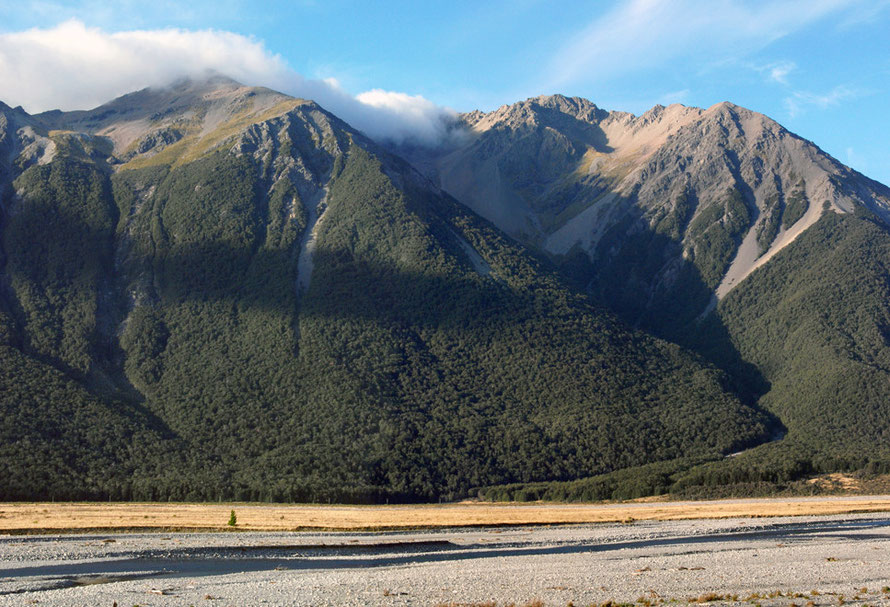
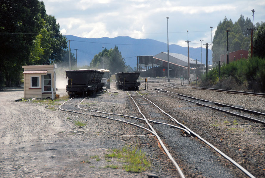
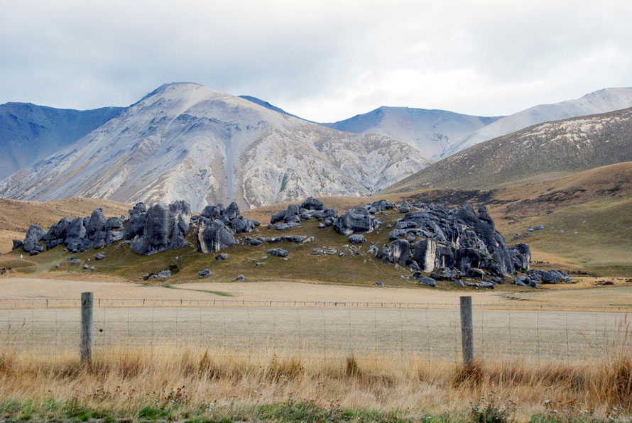
To Authur's Pass: Coal, timber, trails and tragedy