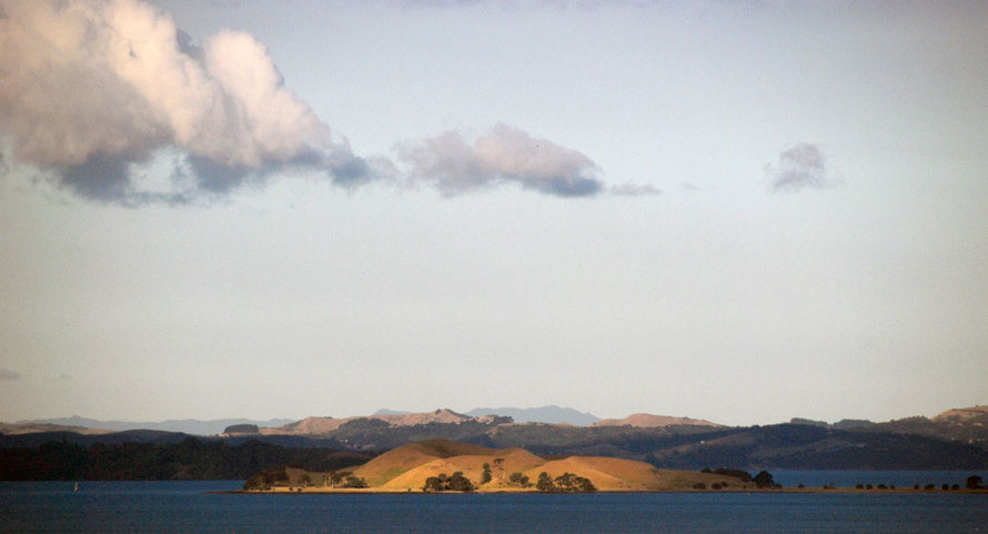
View of the inner Hauraki Gulf with Brown Island, Waiheke Island and the distant Coromandel Peninsula.
The Inner Hauraki Gulf/Tikapa Moana and Greater Auckland showing Waiheke, Rangitoto and Tiritiri Ritangi Islands (NZ Topo map).
Leaving Auckland on the Tiritiri Ritangi ferry.
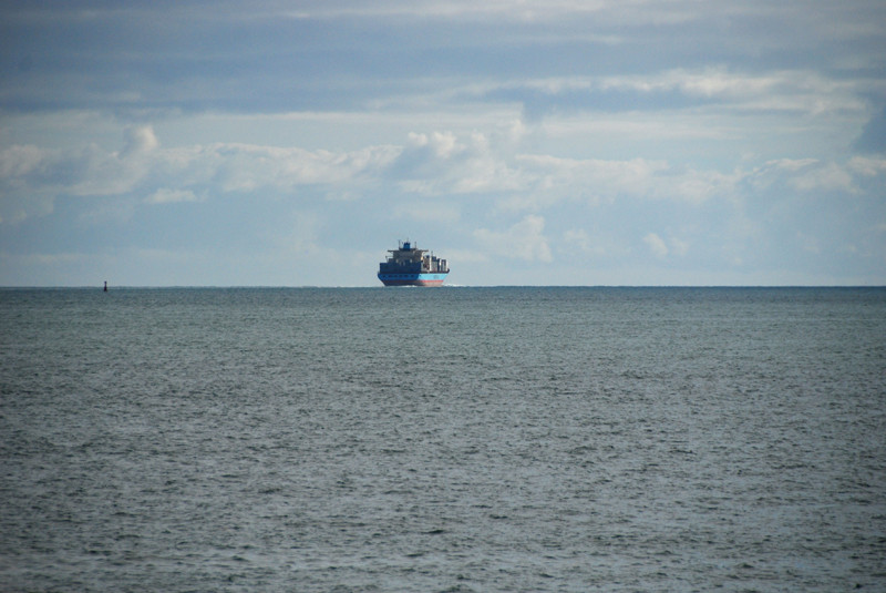
The Lexa Maersk heading for the open sea of the Pacific Ocean via the Rangitoto Channel and the Hauraki Gulf.
Incoming shipping down the Rangitoto Channel: the Vega Auriga (previously the MedBay out of Limmasol) and now the 'Hanse Reliance'.
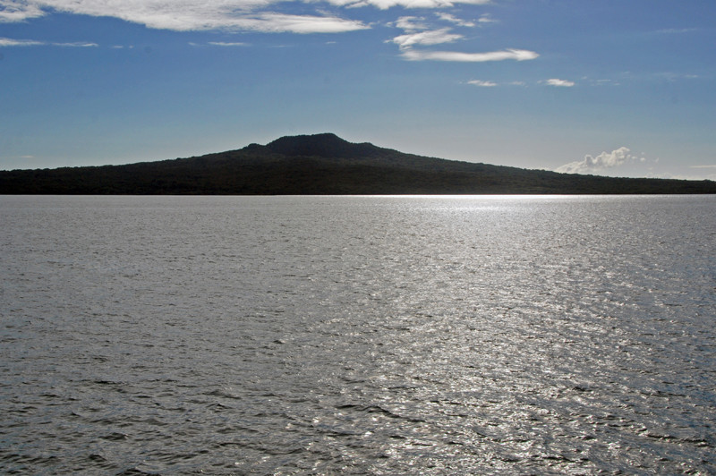
The distinctive shield cone-shaped silhouette of volcanic Rangitoto Island rising to 850 ft. The island was formed only 550-600 years ago.
The Lexa Maersk silhouetted against the Coromandel Peninsula at it heads to the open sea.
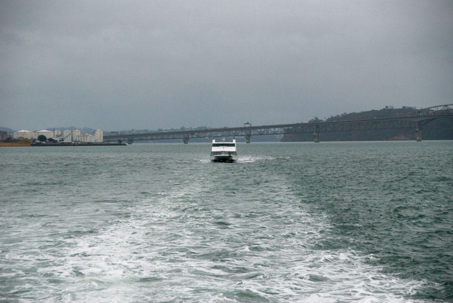
Under leaden skies we set out on the ferrry for Waiheke the day after Cyclone Lusi had passed thtough - the Harbour Bridge in the background.
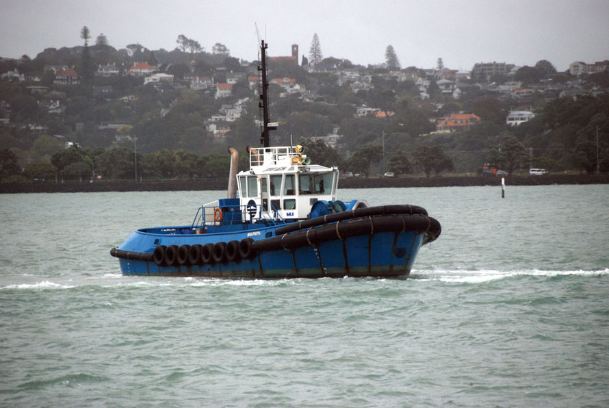
Tug Waipapa on station for an incoming bulk carrier with the Tamaki Drive Causeway and the Auckland South Shore in the background.
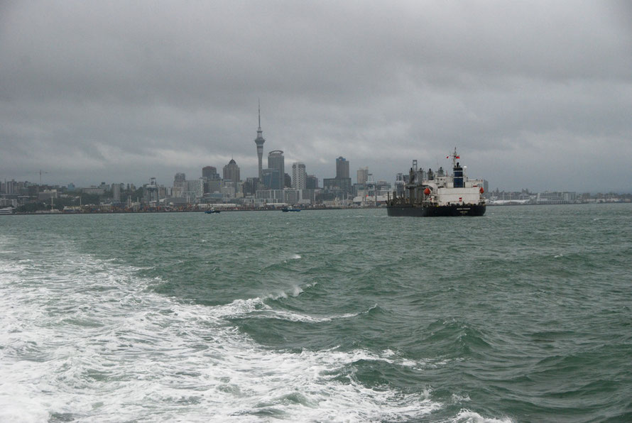
Fully laden bulk carrier 'Genco Pioneer' making for the Auckland port facilities under stormy skies after the passage of Cyclone Lusi the day before.
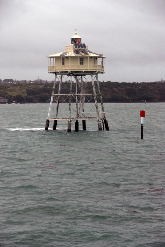
Bean Rocks light in the Inner Hauraki Gulf.
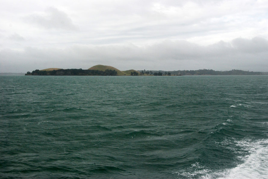
Passing Brown's Island (Motukorea) in the Inner Hauraki Gulf on the way to Waiheke as the remnant cyclone swell picked up and the cat ferrry smashed its way into the growing waves.
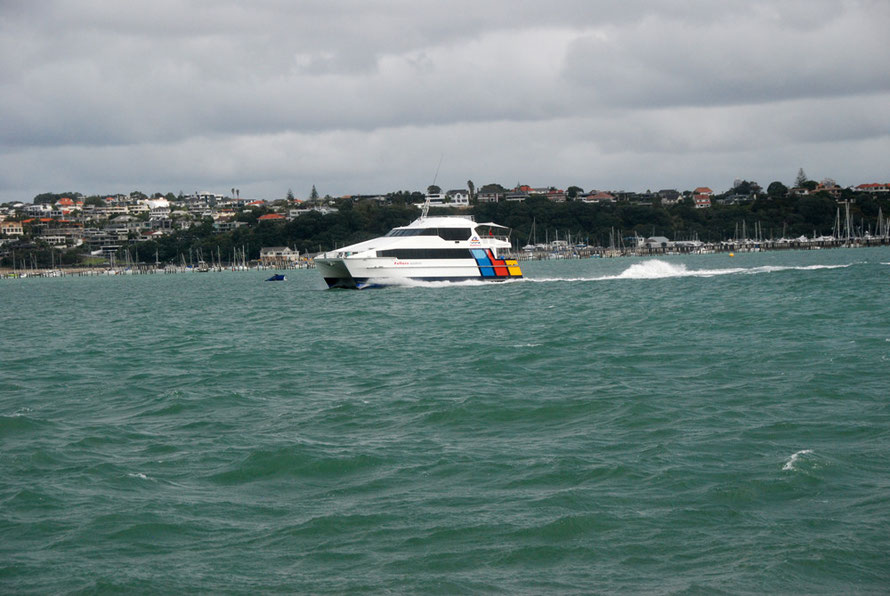
The Waiheke catamaran ferrry making speed along the South Shore of the Motokorea Channel as it heads into the Hauraki Gulf.
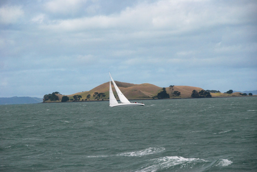
Late in the afternoon the day after Cyclone Lusi a yacht against Brown's Island (Motukorea) in the Inner Hauraki Gulf.
Fleeting sun and a green sea at Brown's Island (Motukorea) in the Inner Hauraki Gulf.
Yellow channel marker buoy and the planed off southern end of Te-Motu-a-Ihenga/Motuihe Island in the Hauraki Gulf.
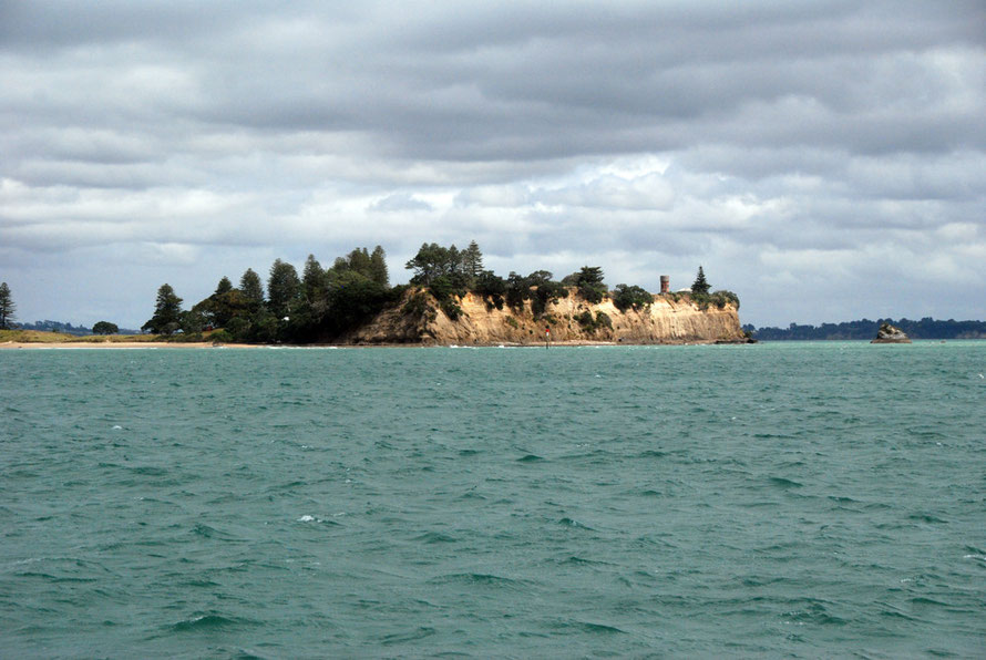
Close up of the cliffs at the southern end of Te-Motu-a-Ihenga/Motuihe Island in the Hauraki Gulf.