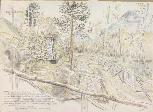
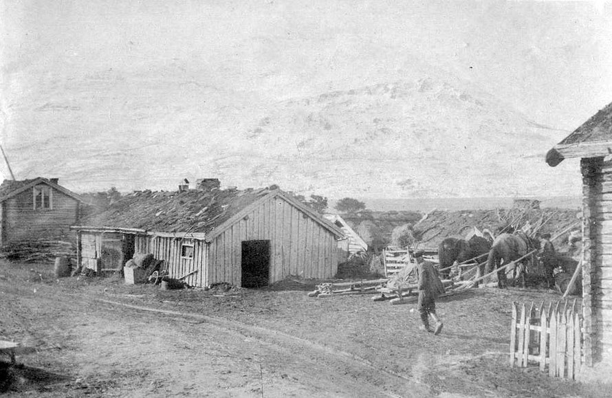
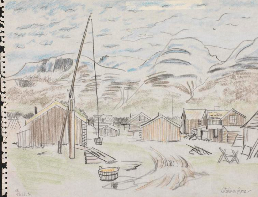
Other materials, maps, war artist paintings, photographs

Empty lot on the Tromsø waterfront near the Hurtigruten cruise liner wharf.
Yellow house in at southern end of Tromsø in Bjerkaker.
Looking south down Tromsøysund - the modern Tromsø waterfront on the right.
Tromsø: houses on the mainland at Tromsdalen.
Tromsø: houses on the mainland at Tromsdalen. Near the Sami camp of 1926 pictured above.
The Clarion Edge hotel and the Nerstranda shopping centre in central Tromso.
The Clarion Edge hotel and the Nerstranda shopping centre in central Tromsø.
The south eastern end of Tromsøy Island (Bjerkaker) and the mountains to the west of Kvaløya Island.
Housing on the south east side of Tromsoy Island. Tromso's population has doubled since the 1960s to 62,000.
Housing on the south east side of Tromsøy Island. Tromsø's population has doubled since the 1960s to 62,000.
Tromsoy Island, the satellite dishes of Kongsberg Communications and the mountains to the east of Tromso rising from the sea to 1100 to 1300m.
Tromsøy Island, the satellite dishes of Kongsberg Communications and the mountains to the east of Tromsø rising from the sea to 1100 to 1300m.
Urban and suburban areas of Tromsø, Tromsøya (mainland on right) and Kvaløya Island (on left) (Wiki.no/Tromsø).
Screen shot of promotional video for the Tromso Grotsund terminal 12 km north of Tromso town centre with distances to major areas of oil exploration. (Source: Tromsø Havn).
Paraglider take-off point on Route 862 on Senja Island.
Off-piste ski tracks on Smalaktinden (1246m) just off  route E8 - the main road north - 30km south of Tromsø.
Off-piste ski tracks on Smalaktinden (1246m) just off route E8 - the main road north - 30km south of Tromsø.
The most prosperous farm I saw. This one on the coastal shelf of morraine deposits at Jøvik under the shadow of the Lyngen Alps.
Bjorkhaug, an NSC Subsea seismic services supply vessel tied up at Tromsø.
Imiigration, emigration and net immigration to Norway by countries of origin 2014 (Statistics Norway https://www.ssb.no/en/flytting/).
The dramatic setting of Tromsø airport.
Scan Shipping vessel in the Sandnessundet on the west side of Tromsøya island in the early morning.
Tromsø Sami Week, 2013 Lassoo Throwing Competition (Wikimedia Commons)
Tromsø Sami Week, 2013 Lassoo Throwing Competition (Illustratedjc Wikimedia Commons)
Jernoy high speed ferry. The ferry, bridge and road and tunnel infrastructure of Northern Norway is impressive.

Climate


Nord Lenangen July is recorded as the warmest month with an average maximum temperature of 11.4° C, while May is the driest with mean rainfall of 50mm. January is recorded as the coldest month with an average minimum of -4°C, while the wettest month is October with mean rainfall of 123mm. The average annual temperature and precipitation at Nord Lenangen is 2.8°C and 950mm (p. 4).

Glaciers


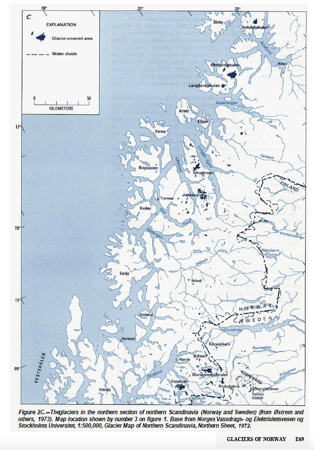
Norway is a relatively small country with surface area of  323,000 km2, but about 2,595 km2 of the land is covered by glaciers: 'the total area covered by glaciers is proportionally higher than for most other countries in Europe'. The total number of glaciers amounts to 1,627 as single bodies of ice.


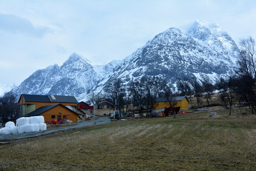
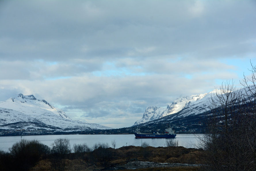
'The largest ice cap in Norway, the Jostedalsbreen, covers 487 km2 and is the largest continuous ice mass in continental Europe.' p. 63 Most glaciers are in Norway's south-west and in the north of the country.


Østrem, G. and Haakensen, N., Glaciers of Norway, US Geological Survey Professional Paper,

Distribution of glaciers in Troms and Finnmark, Norway. (From Østrem, G. and Haakensen, N., Glaciers of Norway, US Geological Survey Professional Paper.)
Glacial erosional and depositional landforms, their relative size and required time of formation (From Fedrin at a. 20143 above - copyright Clas Hättestrand, Stockholm University.)
Glacial erosional and depositional landforms, their relative size and required time of formation (From Fedrin et al. 2013 above).
A Russian Memorial to Some of the Men who Died at the Kitdal Camp Stephen Bone, British War Artist, 1945  © Imperial War Museum (Art.IWM ART LD 5316 http://www.storfjord.kommune.no/storfjord-1945-en-krigskunstners-inntrykk.5052462-108942.html).
A Russian Memorial to Some of the Men who Died at the Kitdal Camp Stephen Bone, British War Artist, 1945 © Imperial War Museum (Art.IWM ART LD 5316 http://www.storfjord.kommune.no/storfjord-1945-en-krigskunstners-inntrykk.5052462-108942.html).
Kitdalen valley had eight primitive POW camps outh east of Storfjord. Mallnitz Death Camp was in the Norddalen where the Nazis constructed the last ditch Lyngen Line with slave Russian, Polish and Yugoslav prisoner labour in 1944-5.
Skibotn, 1916 (Photo: Joachim Andreas Vibe Kjærulf Fleischer, Norwegian Directorate of Culture).
Skibotn, 1945 Stephen Bone, British War Artist, 1945 © IWM http://www.iwm.org.uk/collections/item/object/3240.
Interior of the upside down Tirpitz, Stephen Bone, British War Artist, 1945 © IWM (http://www.iwm.org.uk/collections/item/object/3272). The German battleship Tirpitz was sunk near Tromso by Allied bombers.
Trondheim: submarine pens, Stephen Bone, British War Artist, 1945 © IWM (http://www.iwm.org.uk/collections/item/object/3225).
Possible location of Kitzbuhel POW camp on the Lungen Line in Norddalen at 800m.
Partial map of Norddalen war sites on the Lyngen Line from Anders Hesjedal (http://www.nrk.no/troms/_-krigsminnene-ma-fredes-1.12018866).

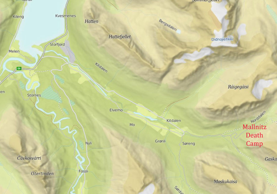
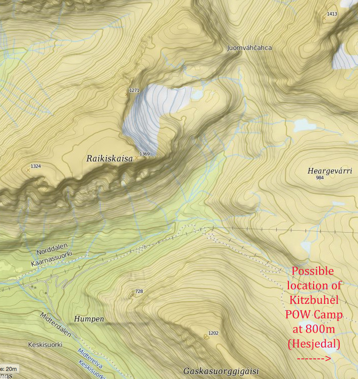
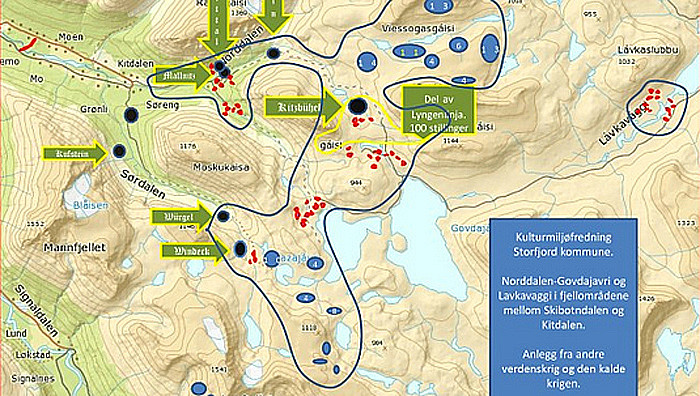
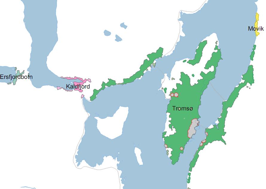
Check Krigsminnelandskap i Troms project leader Anders Desjedal mapping war sites and monuments in Troms.


Link to project proposal on this page of Troms Council site - did it happen? No response from Desjedal to my email